
Our time-lapse strategy combines durable equipment, remote monitoring, and expert editing to deliver compelling visual narratives that document progress, engage stakeholders, and elevate your project’s visibility and value.
Positioned at the intersection of technology and storytelling, our time-lapse services deliver impactful visual documentation that enhances project transparency, boosts client engagement, and reinforces your brand’s commitment to excellence.
We craft visually compelling time-lapse content that transforms ordinary progress into captivating stories—blending motion, rhythm, and detail to create memorable visuals that resonate across digital, broadcast, and client presentations.
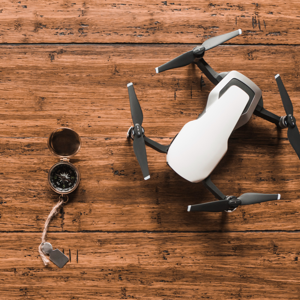
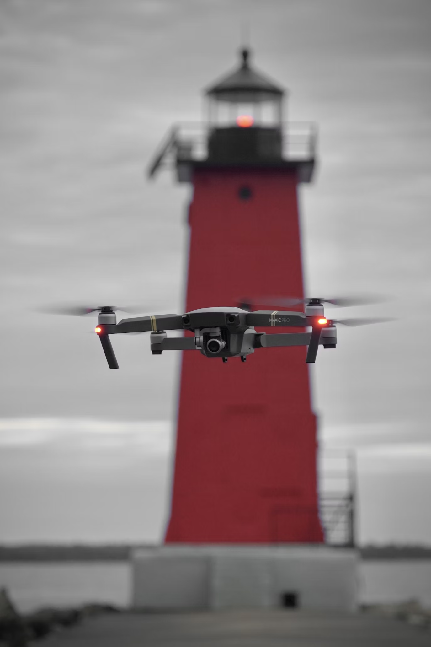
Drone videography services are reshaping how businesses, events, and projects are captured and presented. We combine technical expertise with creative storytelling to deliver visuals that are not only impressive but also purposeful. Whether it’s showcasing a property, documenting a large-scale project, or filming a once-in-a-lifetime event, our aerial perspective brings a new level of clarity and impact.
Our approach focuses on precision, quality, and engagement. From high-resolution footage to expertly edited visual narratives, we create content that reflects your vision while leaving a lasting impression on audiences.
As a leading drone filming company in Saudi Arabia, Elite Design Studio understands the importance of pairing advanced technology with a deep understanding of client needs. We position ourselves not just as a service provider but as a creative partner, ensuring every project we capture aligns with your goals.
Our services provide:
By tailoring our solutions to diverse sectors, we provide value across commercial, industrial, and personal projects.
Every project has a story. Through our drone services, we document progress in ways that help stakeholders, clients, and audiences stay informed and engaged. Time-lapse strategies and aerial perspectives offer transparency, demonstrating not only milestones but also the commitment behind the work.
Our visuals are more than images—they serve as communication tools that:
This combination of clarity and creativity ensures that your efforts are seen, understood, and appreciated.
Events are moments where atmosphere and energy matter most. Our drone photography and videography services bring fresh perspectives to weddings, concerts, sports, and corporate gatherings. By capturing sweeping aerial views and real-time highlights, we create footage that immerses viewers and preserves memories with cinematic detail.
Highlights of our event coverage include:
From intimate celebrations to large public gatherings, our team ensures every angle adds to the story.
Aerial photography provides depth and perspective that traditional methods cannot. For real estate, this means presenting properties in a way that emphasizes scale, design, and location. For businesses, it enhances marketing campaigns by offering fresh, eye-catching content. For personal projects, it creates memories that feel larger than life.
Our drone photography service focuses on delivering clarity, detail, and creativity in every shot. The result is content that resonates across digital platforms, print media, and presentations.
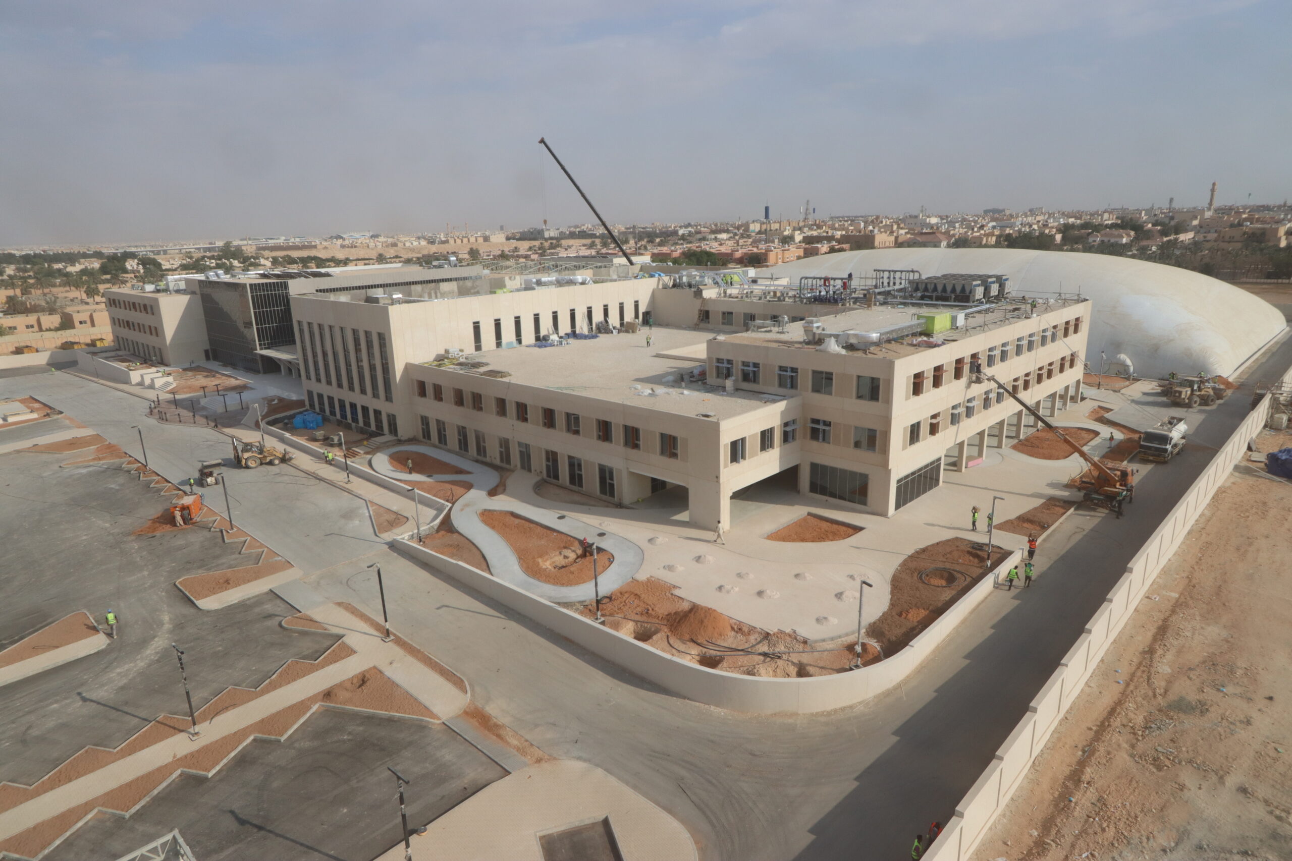
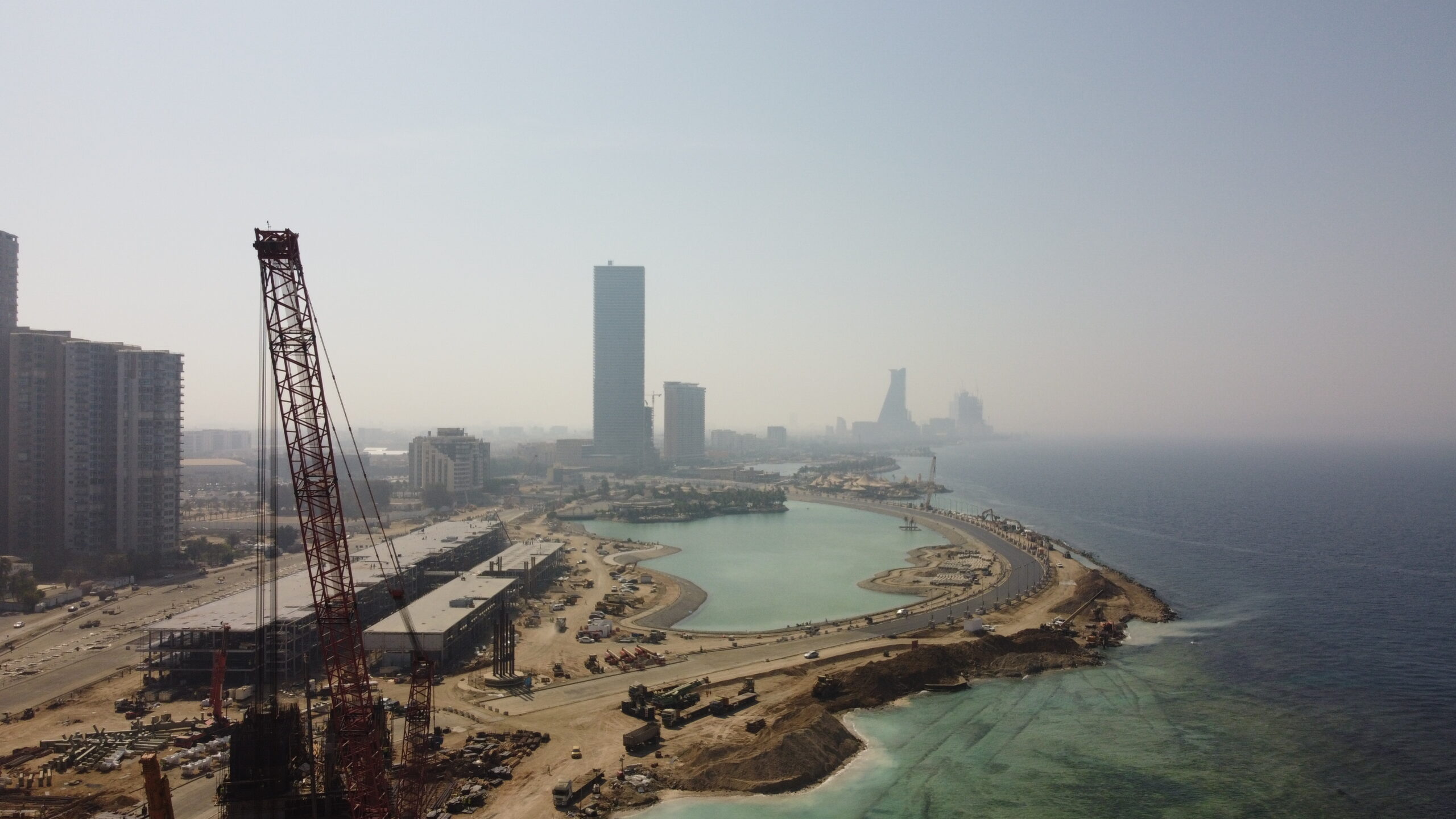
Drones are transforming industries that rely on data accuracy. With aerial surveying and mapping, we provide high-resolution imagery and measurements that improve efficiency in planning and execution.
Industries that benefit from this service include:
By merging technology with practical applications, our services help organizations make informed decisions while saving time and resources.
What sets Elite Design Studio apart is our ability to merge strategy with creativity. Our work doesn’t just show what’s happening—it frames it in a way that’s compelling and memorable. With a balance of rhythm, motion, and storytelling, we ensure that every piece of content reflects your project’s value.
Whether you need project documentation, event highlights, or promotional material, our team combines technical accuracy with artistic insight to create visuals that stand out.
We believe that every project deserves to be seen from the best possible angle. Through drone photography, videography, surveying, and event coverage, we help clients transform vision into visuals that engage, inform, and inspire. By blending precision technology with storytelling, we stand as a trusted partner for businesses, organizations, and individuals seeking aerial solutions that make an impact.
See for yourself
Aerial photography and videography capture stunning, high-angle visuals using drones, ideal for real estate, events, marketing, and cinematic storytelling.
Aerial land surveying and mapping provide accurate, high-resolution data using drones, enhancing planning, construction, agriculture, and environmental monitoring efficiency.
Event coverage with drones captures dynamic aerial views, offering unique perspectives for weddings, concerts, sports, and festivals with cinematic quality and real-time highlights.
ANY QUESTIONS?